Fieldwork
Sun2ice 2017's fieldwork took place is one of the northernmost towns in the world, Qaanaaq (77°N), Northwest Greenland, which is surrounded by a tens of active calving glaciers.
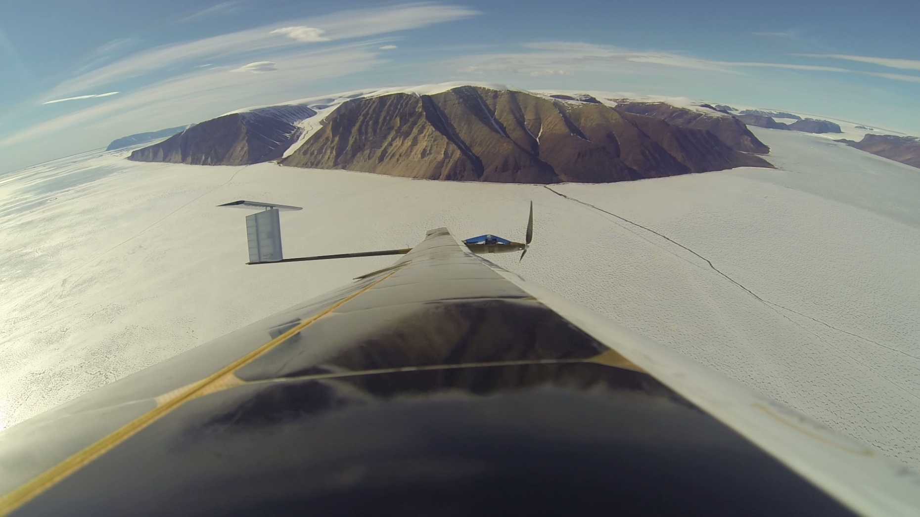
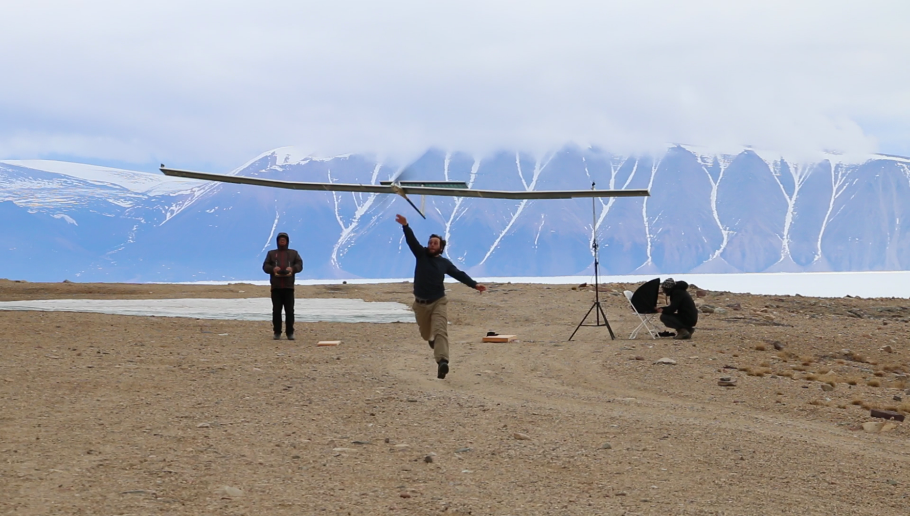
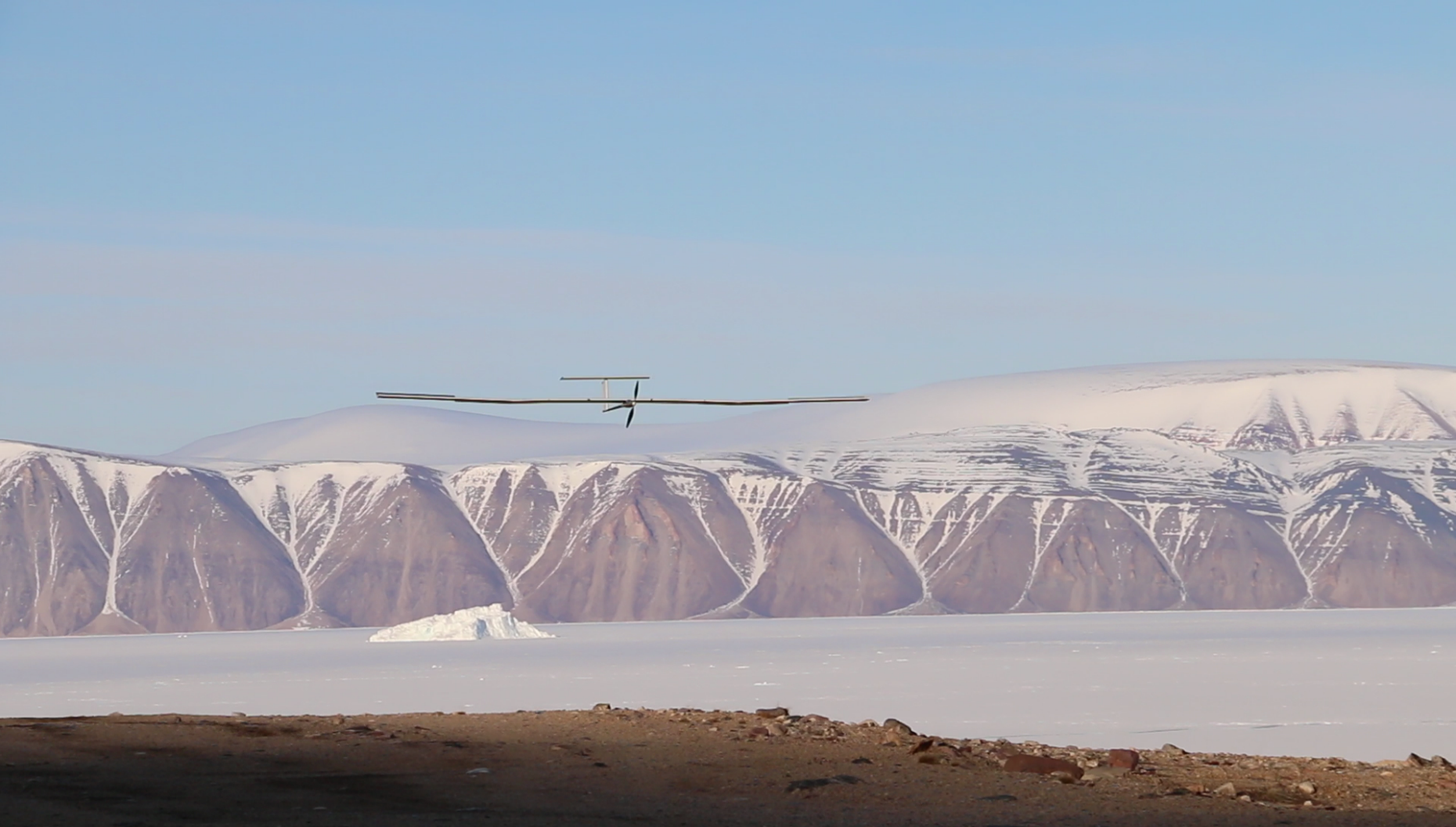
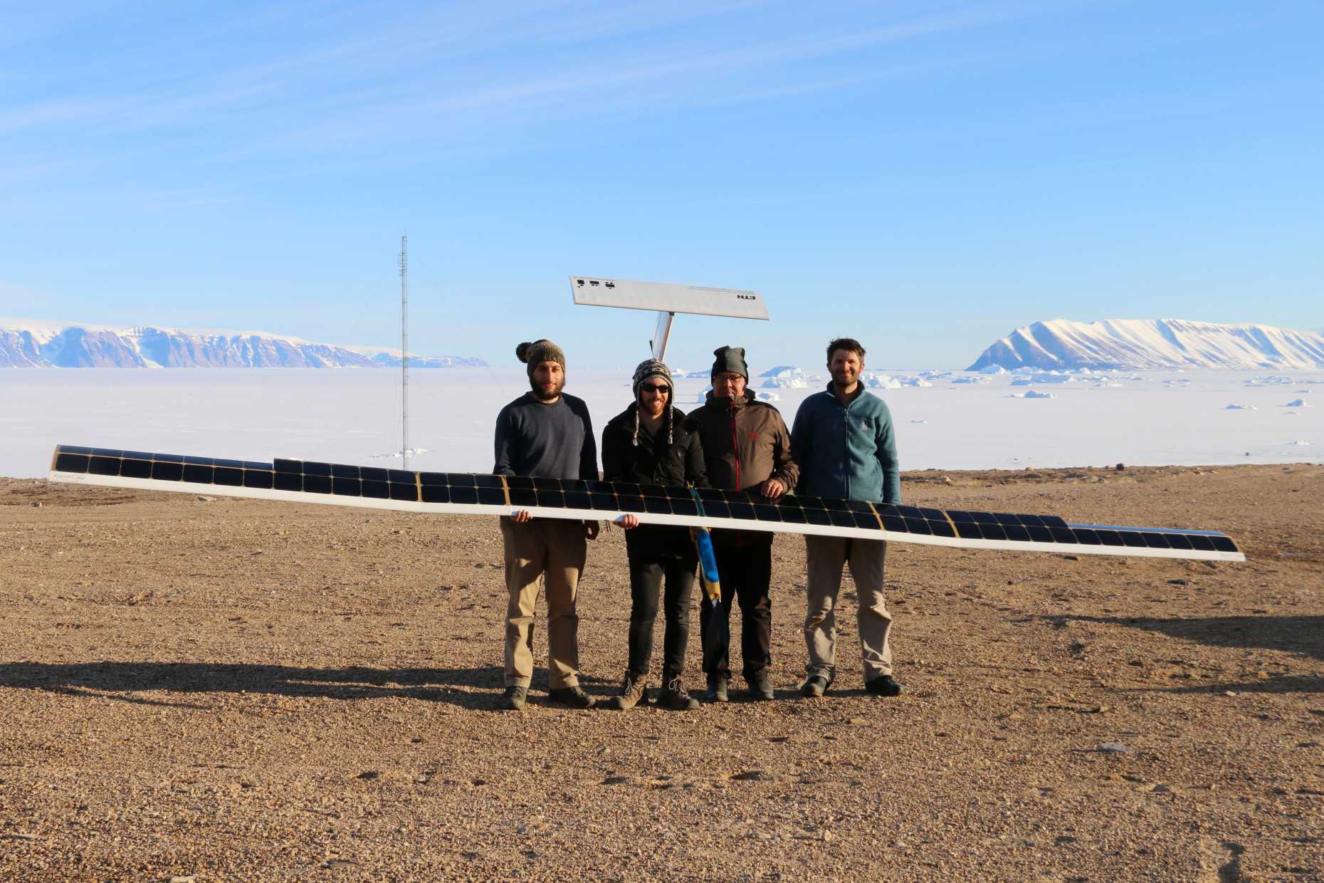
Several difficulties were encountered including the exceptional and sustained presence of fog, and the necessity to build and sustain a landing strip suitable for AtlantikSolar, a highly-efficient but fragile platform. Despite this, AtlantikSolar succesfully undertook the first-ever autonomous and solar-powered flight of a UAV in polar region, including a 13 hour endurance test and the survey of Bowdoin Glacier, Northwest Greenland, a round trip of 5 hours and 230 km from which the AtlantikSolar returned with fully charged batteries, despite launching around midnight, near the region's daily solar minimum.
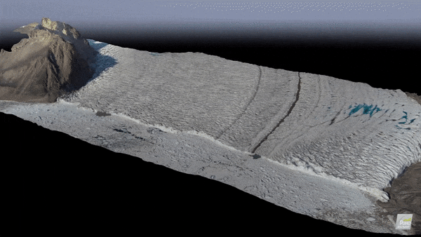
This monitoring revealed the opening a major crack, which collapsed about one week after the flight and produced a major calving event.
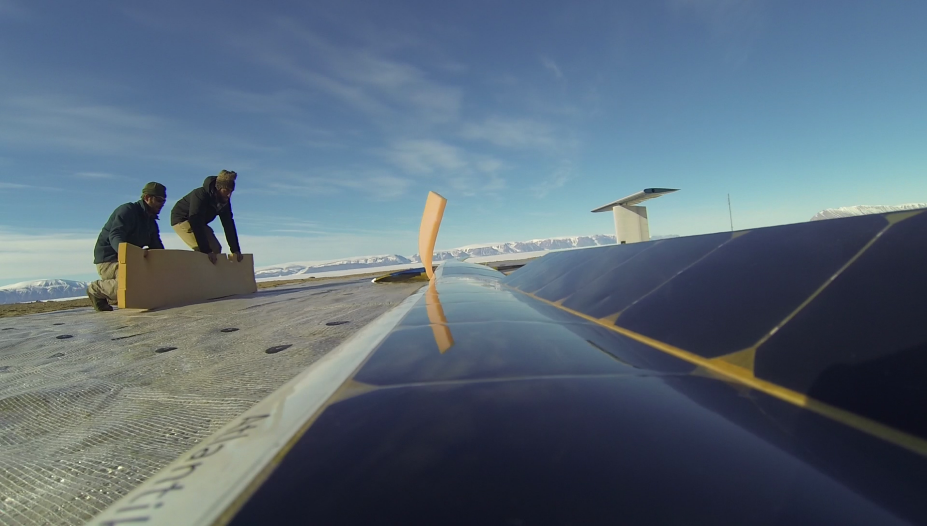
The AtlantikSolar UAV in Qaanaaq
From the geo-localized images gathered during AtlantikSolar's flight to Bowdoin Glacier, it was possible to map the calving front and reconstruct a 3D model (see below) by structure-from-motion techniques. Further orthmosaics will be developed from subsequent flights over the glacier for analyzing the full calving process, from crack formation to iceberg production.